Monday, April 24, 2006


Hethel 3 miles
Yesterday the dog and I walked some of the paths around Hethel, Norfolk (TG172004) using the OS Explorer 237,
I parked on the green beneath splendid trees at Bond’s Green. Promising myself that I would return to investigate the church another day, I took the FP north leaving Church Plantation and big pond to my right. A sharp turn to the left lead me past a fine display of cowslips and primroses to Cranes Road, having taken a turn to the left in a thicket to reach the road.
Turning north on the road for a few yards I turned to the left passing Moat House, which appeared to have a multiplicity of moats. A left turn off the track passed some farm buildings of clay lump construction. This path followed yet another moat and crossing a stile turns right through small meadows, which were occupied by one black and two white cows, which may have been
The Hethel Thorn, although unimpressive to my eyes, is reported, according to the information board, to be of historical, social, artistic and biological interest. I leave you to judge.
Crossing a further meadow, under the observant gaze of the second white cow, I rejoined the road at a dog resisting stile. Following the unmade road past the delightfully unimproved Church Farm and making a right turn near to yet another moat shown on the map, the path leads through a long narrow meadow, but a turn to the left after only a few yards leads to a rough path to the
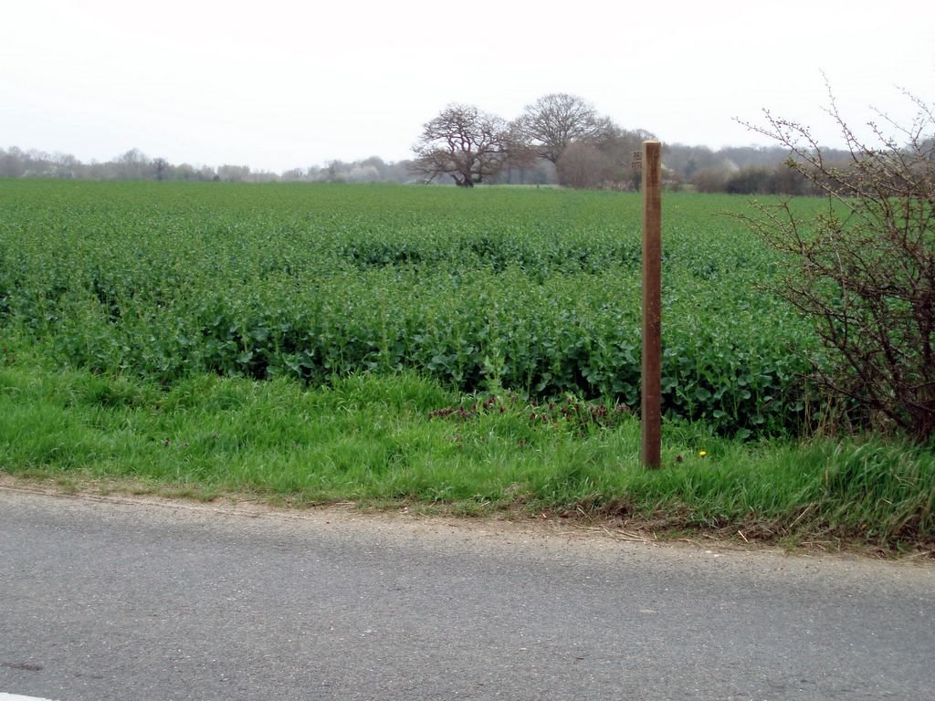
The unmarked path then led on through the crop to cross a low bridge and, forging a path through a dense crop of rape, dog and I reached the
Old Boots
![]()